LIDAR the Pines with NJ 2007 Orthoimagery
© 2023 Boyd Ostroff
Data Source
This map is locally hosted at boydsmaps.com
Link to this metadata:
boydsmaps.com/mapinfo/lidar2007.html
Link to this map:
boydsmaps.com/#15.00/39.649230/-74.642864/lidar2007/0.00/0.00
Originally published:
January 23, 2015
Most recent update:
February 12, 2023
Resolution:
4 feet (1.2 meters)
Map Tiles:
518,000
Size:
10 gb
Description
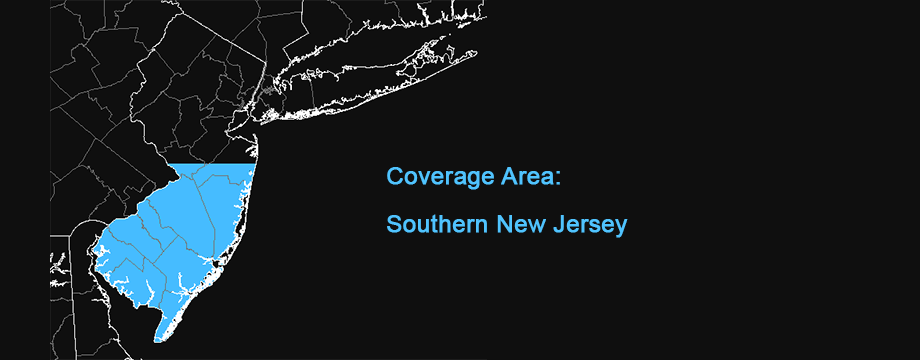
This map features New Jersey 2007 Orthophotography as a texture map for three-dimensional terrain. The Digital Elevation Model of Southern New Jersey includes 1-meter 2015 USGS bare-earth LIDAR data for Camden, Gloucester and Burlington Counties with 2019 1-meter data for Ocean, Atlantic, Cape May, Cumberland and Salem Counties from the 2019 South Jersey LIDAR Project. This same imagery is also available as a Mapbox 3d map (South Jersey LIDAR 3d with Aerials).
The NJ 2007 Orthophotography was sampled at 1-meter/pixel and hillshading was added from a light source at 315-degrees azimuth and 45-degrees elevation. This image then serves as texture map for the LIDAR terrain model.
Credits
NJDEP Bureau of GIS, NJ Office of Information Technology, Office of GIS (NJOIT/OGIS)
US Geological Survey 3d Elevation Program (USGS 3DEP)
Sanborn Map Company, Inc.
Use Constraints
This map is © 2023 Boyd Ostroff with all rights reserved. It is provided free of charge for personal, non-commercial, non-organizational use but is not open source software. It may not be published or re-distributed in any form without the written consent of the author. Reasonable usage of map screenshots is permitted as long as they are attributed to boydsmaps.com (preferably with a link to the actual map).
Users should be aware that temporal changes may have occurred since this dataset was collected and that some parts of these data may no longer represent actual surface conditions. Users should not use these data for critical applications without a full awareness of its limitations. Acknowledgement of the U.S. Geological Survey would be appreciated for products derived from these data.
Distribution Liability
Map software is provided "as-is", without any express or implied warranty. In no event will boydsmaps.com be held liable for any damages arising from the use of this software. The user assumes all risks associated with the use of this software. boydsmaps.com will not be held responsible for any inaccuracies and no responsibility is assumed for damages or other liabilities due to errors, installation, accuracy, availability, use or misuse of the data presented.
LIDAR DEM Metadata Links
newjersey.maps.arcgis.com/home/item.html? pubs.usgs.gov/tm/11/b07/tm11-b7