Northeastern US LIDAR
© 2022 Boyd Ostroff
Data Source
This map is locally hosted at boydsmaps.com
Link to this metadata:
boydsmaps.com/mapinfo/midatlidar.html
Link to this map:
boydsmaps.com/#11.00/42.247478/-74.373340/midatlidar/0.00/0.00
Originally published:
February 12, 2021
Most recent update:
March 27, 2024
Resolution:
4 feet (1.2 meters)
Map Tiles:
18,335,000
Size:
607 gb
Description
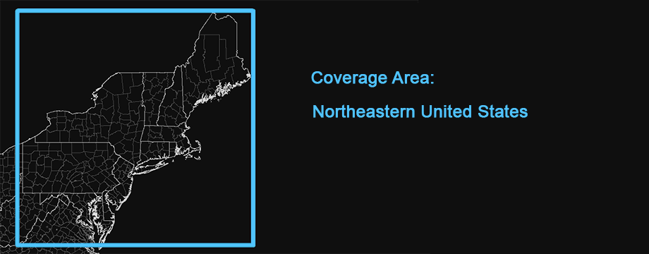
This map was created from high-resolution elevation data for the Northeastern US region as shown below (New Jersey, New York, Pennsylvania, Maryland, Delaware, Connecticut, Rhode Island, Massachusetts, New Hampshire, Vermont and Maine with partial coverage of Virginia and West Virginia).
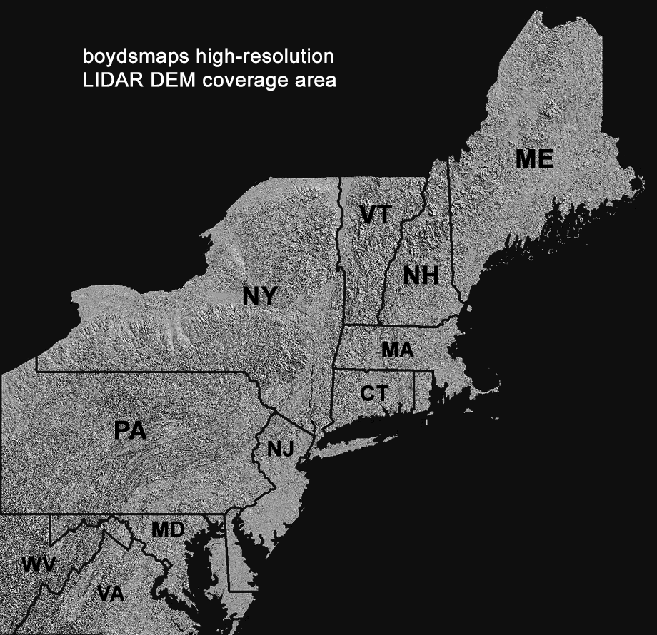
Approximately two-thirds of the map was made from bare-earth LIDAR data with a horizontal resolution of 1.2 meters (4 feet). Where this was not available, USGS 3DEP 1/9 arc second data was used with a resolution of 2.4 meters (8 feet). In areas where no LIDAR-based DEM was available, legacy USGS NED 1/3 arc second data is used with a resolution of about 9.6 meters (32 feet).
A three-dimensional version of this map is also available. You must be using 3d view to access the 3d map: click/tap the compass to switch between 2d/3d modes. 3d maps should then appear in blue on the menu. 3d maps use more data and are slower to render, always use the 2d version unless you need 3d views of the terrain.
Source Data
South NJ 2019 LIDAR, Northwest NJ 2018 LIDAR, Northeast NJ Post-Sandy 2014 LIDAR, Delaware Valley Regional Planning Commission 2015 LIDAR: NJDEP Bureau of GIS, NJ Office of Information Technology, Office of GIS (NJOIT/OGIS)
PAMAP 2008 Statewide 3.2-foot LIDAR: PA Department of Conservation and Natural Resources, Bureau of Topographic and Geologic Survey, PA Spatial Data Access (PASDA)
1-meter LIDAR DEM, 1/9 arc-second LIDAR DEM, 1/3 arc-second legacy DEM: US Geological Survey 3d Elevation Program (USGS 3DEP), USGS National Elevation Database (NED)
Use Constraints
This map is © 2024 Boyd Ostroff with all rights reserved. It is provided free of charge for personal, non-commercial/non-organizational use but is not open source software. This map may not be used for commercial or organizational purposes and may not be published or re-distributed in any form without the written consent of the author. Reasonable usage of map screenshots is permitted as long as they are attributed to boydsmaps.com (preferably with a link to the actual map).
Distribution Liability
Map software is provided "as-is", without any express or implied warranty. In no event will boydsmaps.com be held liable for any damages arising from the use of this software. The user assumes all risks associated with the use of this software. boydsmaps.com will not be held responsible for any inaccuracies and no responsibility is assumed for damages or other liabilities due to errors, installation, accuracy, availability, use or misuse of the data presented.
Source Metadata Links
njgin.nj.gov/njgin/edata/elevation www.pasda.psu.edu/uci/DataSummary.aspx? pubs.usgs.gov/tm/11/b07/tm11-b7 data.usgs.gov/datacatalog/data/USGS:40e52270 data.usgs.gov/datacatalog/data/USGS:3a81321b