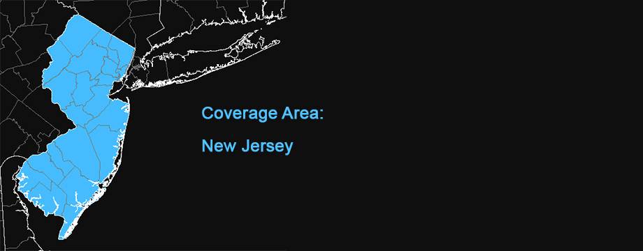
New Jersey 2019 National Agriculture Imagery Program (NAIP) Orthophotography
This map is locally hosted at boydsmaps.com
Link to this metadata:
boydsmaps.com/mapinfo/nj2019.html
Link to this map:
boydsmaps.com/#15.00/39.741442/-74.726334/nj2019/0.00/0.00
Originally published:
February 6, 2025
Most recent update:
none
Resolution:
4 feet (1.2 meters)
Map Tiles:
986,000
Size:
9.44 gb
Data Source
NJ Office of Information Technology (NJOIT), Office of Geographic Information Systems (OGIS)
Description
This map is a locally-hosted version of the NJGIN New Jersey 2019 NAIP Orthophotography. It was processed at the same resolution as the original NJGIN imagery (4ft / 1.2m) and covers the entire state.
Original Imagery Metadata
newjersey.maps.arcgis.com/home/item.html?id=Credits
New Jersey Geographic Information Network (njgin.nj.gov)
National Agriculture Imagery Program (NAIP), US Department of Agriculture, Farm Service Bureau Aerial Photography Field Office. NJ Office of Information Technology (NJOIT), Office of Geographic Information Systems (OGIS)
Use Constraints
Acknowledgement of NJ Office of Information Technology (NJOIT), Office of Geographic Information Systems (OGIS), and of the data provider, USDA-FPAC-BC Aerial Photography Field office, would be appreciated.
Distribution Liability
The State of New Jersey makes great effort to provide secure, accurate, and complete data and metadata. However, portions of the data and metadata may be incorrect or not current. Any errors or omissions should be reported for investigation. The State of New Jersey, its officers, employees or agents shall not be liable for damages or losses of any kind arising out of or in connection with the use or performance of data and metadata, including but not limited to, damages or losses caused by reliance upon the accuracy or timeliness of any such data and metadata, or damages incurred from the viewing, distributing, or copying of those materials. The data and metadata are provided “as is.” No warranty of any kind, implied, expressed, or statutory, including but not limited to the warranties of non-infringement of third party rights, title, merchantability, fitness for a particular purpose, and freedom from computer virus, is given with respect to the data and metadata, or its hyperlinks to other Internet resources. The State disclaims any duty or obligation either to maintain availability of or to update the data and metadata.
Map software is provided "as is.", without any express or implied warranty. In no event will boydsmaps.com be held liable for any damages arising from the use of this software. The user assumes all risks associated with the use of this software. boydsmaps.com will not be held responsible for any inaccuracies and no responsibility is assumed for damages or other liabilities due to errors, installation, accuracy, availability, use or misuse of the data presented.