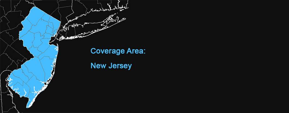
New Jersey 1881-1924 Historic Topographic Map
This map is locally hosted at boydsmaps.com
Link to this metadata:
boydsmaps.com/mapinfo/nj1881.html
Link to this map:
boydsmaps.com/#13.00/40.955264/-74.635653/nj1881/0.00/0.00
Originally published:
February 4, 2025
Most recent update:
none
Resolution:
16 feet (4.8 meters)
Map Tiles:
83,000
Size:
740 mb
Data Source
NJ Office of Information Technology (NJOIT), Office of Geographic Information Systems (OGIS)
Description
This map is a local version of the NJGIN Historical USGS Topographic Map. The resolution of 16 feet (4.8 meters) per pixel matches the original NJGIN map and the coverage area is the same.
The map includes a mosaic of historical USGS topographic maps of New Jersey surveyed from 1881 to 1924. This product is to be used for reference purposes only. The original historical paper maps were distorted or damaged to varying degrees due to age and use. During visual testing, it appeared that spatial inaccuracies in the images exceed 200 feet in several locations. The digital product has not been corrected for distortion nor vertical displacement. Consequently, this product does not meet the National Standard for Spatial Data Accuracy (NSSDA).
The mosaic was produced by scanning 15 minute (1:62,500 scale) historical USGS topographic paper maps at 600 dpi and saving them as Tagged Image File Format (TIFF) images. The scanned TIFFs have an approximate pixel resolution of 17 feet. The map images were georeferenced to a fishnet in their native coordinate system and then reprojected to NAD83 NJ State Plane coordinates
Original Imagery Metadata
newjersey.maps.arcgis.com/home/item.html?id=Credits
Historical USGS topographic maps of New Jersey - created by the United States Geological Survey. Historical USGS topographic maps of New Jersey paper map set - provided by the Upper Raritan Watershed Association, Bedminster, New Jersey. Historical USGS topographic map images of New Jersey - scanned by the Rutgers University Environmental Digital Library, New Brunswick, New Jersey; scanning process managed by the New Jersey Department of Environmental Protection, Bureau of Geographic Informations Systems, Trenton, New Jersey; georeferenced by the New Jersey Office of Information Technology, Office of Geographic Information Systems, Trenton, New Jersey.
The Milford 1913 and Bushkill 1924 map images were obtained from the USGS Delaware Basin Project website (https://mcmcweb.er.usgs.gov/de_river_basin/de_water_gap/data_list.html)
Use Constraints
Acknowledgement of NJ Office of Information Technology (NJOIT), Office of Geographic Information Systems (OGIS) as the data source would be appreciated.
Distribution Liability
The State of New Jersey makes great effort to provide secure, accurate, and complete data and metadata. However, portions of the data and metadata may be incorrect or not current. Any errors or omissions should be reported for investigation. The State of New Jersey, its officers, employees or agents shall not be liable for damages or losses of any kind arising out of or in connection with the use or performance of data and metadata, including but not limited to, damages or losses caused by reliance upon the accuracy or timeliness of any such data and metadata, or damages incurred from the viewing, distributing, or copying of those materials. The data and metadata are provided “as is.” No warranty of any kind, implied, expressed, or statutory, including but not limited to the warranties of non-infringement of third party rights, title, merchantability, fitness for a particular purpose, and freedom from computer virus, is given with respect to the data and metadata, or its hyperlinks to other Internet resources. The State disclaims any duty or obligation either to maintain availability of or to update the data and metadata.
Map software is provided "as is.", without any express or implied warranty. In no event will boydsmaps.com be held liable for any damages arising from the use of this software. The user assumes all risks associated with the use of this software. boydsmaps.com will not be held responsible for any inaccuracies and no responsibility is assumed for damages or other liabilities due to errors, installation, accuracy, availability, use or misuse of the data presented.