1980's National High Altitude Photography Program Monochrome Aerial Imagery
© 2025 Boyd OstroffThis map is locally hosted at boydsmaps.com
Link to this metadata:
boydsmaps.com/mapinfo/nhap80.html
Link to this map:
boydsmaps.com/#15.00/42.335523/-71.157816/nhap80/0.00/0.00
Originally published:
December 31, 2023
Most recent update:
July 31, 2025
Resolution:
4 feet (1.2 meters)
Map Tiles:
7,111,000
Size:
39.44 gb
Data Sources
NJ Office of Information Technology, Office of Geographic Information Systems
1981-1987 NHAP New Jersey Infrared Orthophotography
newjersey.maps.arcgis.com/home/item.html?id=10714254
USDA Farm Production and Conservation Business Center
1980-1989 New York NHAP Color Infrared Aerial Imagery
apfo-usdaonline.opendata.arcgis.com/maps/c2aafa2
Pennsylvania Spatial Data Access
1980-1983 High Resolution NHAP Color Infrared Imagery for Pennsylvania
www.pasda.psu.edu/uci/DataSummary.aspx?dataset=1079
United States Department of Agriculture
Natural Resources Conservation Service Geospatial Data Gateway
NHAP imagery for Connecticut, Rhode Island and Massachussets
nrcs.app.box.com/v/gateway/folder/132642249301
Maryland iMap Portal
Maryland State Orthoimagery and Historical Imagery
Color Infrared DOQ's
mdgeodata.md.gov/imagery/rest/services/DOQs/ColorInfraredDOQs/MapServer
State of Vermont
Vermont Open Geodata Portal
Black and White Orthophotography (1971-1992)
geodata.vermont.gov/pages/imagery
New Hampshire GRANIT Clearinghouse
New Hampshire Geodata Portal
1974 New Hampshire Regional Panchromatic Aerial Photography
www.nhgeodata.unh.edu/datasets/NHGRANIT::1974
Description
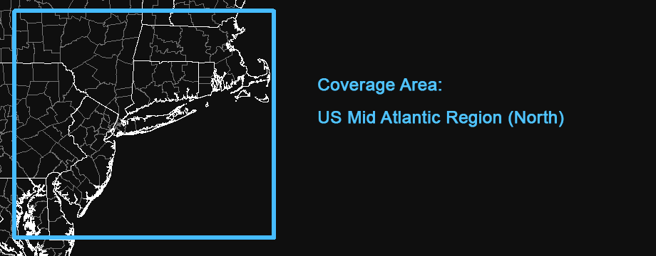
This map features 1980's aerial imagery of the Northeast / Mid Atlantic US region with full coverage of New Jersey, Connecticut, Rhode Island, and Massachussets and partial coverage of New York, Pennsylvania and Maryland.
The National High Altitude Photography (NHAP) program was administered from 1980 to 1989 by the US Geological Survey to acquire aerial photography of the lower 48 states every 5 years. This interagency program was designed to eliminate duplicate efforts in various Government programs and maximize the use of funds to build a uniform archive of imagery.
The NHAP imagery was acquired on 9-inch film with an 8.25-inch focal length lens at 40,000 feet above mean terrain with flight lines centered on the 1:24,000-scale 7.5-minute USGS topographic map series. A total of about 500,000 images were acquired over the life of the NHAP program.
The available Pennsylvania NHAP imagery was not georeferenced, which presented a problem in making this map. There were a great number of overlapping photographic plates, so this was narrowed down to the minimum needed to provide a straight Western border. Then basic georeferencing was done by by matching points near each corner plus one in the center with 1990's NAPP aerial imagery, taking about 20 minutes for each of the 87 plates. Unfortunately, the resulting accuracy was poor, which is especially noticeable along the seams between individual photographic plates. Based on this experience, it would probably require around 20 control points and about one hour for each plate to produce more acceptable results.
The entire map was processed at a resolution of 4 feet (1.2 meters) per pixel, but not all of the source imagery supports resolution this high. The New Jersey imagery generally shows good detail at zoom level 17 although the focus is slightly soft. The same could be said for the Pennsylvania imagery. But most of the New York imagery appears to only have a resolution of 8 feet (2.4 meters) and looks very soft at zoom level 17.
This map was greatly expanded in July, 2025 with the addition of Connecticut, Rhode Island and Massachussets imagery from the USDA/NCRS plus partial Maryland imagery. Portions of Southern Vermont and New Hampshire were also added. New Hampshire is limited to 1974 imagery for the Eastern part of the state however, so a simple basemap is shown for the West. As discussed above, the only NHAP imagery for Pennsylvania is not georeferenced. But we didn't want to limit the coverage of other states, so we made a simple basemap for Western Pennsylvania. No imagery was available for Delaware either, so a basemap is also shown there.
To provide more consistent and readable results, the original color infrared (CIR) imagery was converted to 8-bit grayscale and contrast-adjusted as needed.
Credits
US Department of Agriculture Farm Production and Conservation Business Center (USDA FPAC-BC)
USDA Natural Resources Conservation Service Geospatial Data Gateway
NJ Office of Information Technology (NJOIT), Office of GIS (NJOGIS)
New Jersey Geographic Information Network (NJGIN)
Donald W. Hamer Center for Maps & Geospatial Information at The Pennsylvania State University
Pennsylvania Spatial Data Access
Maryland iMap Portal
New Hampshire GRANIT GIS Clearinghouse
Vermont Open Geodata Portal
Distribution Liability
This map is for coverage/informational purposes only and is not suitable for legal, engineering, or surveying purposes. (USDA FPAC-BC)
The State of New Jersey provides the data set "as is.". The State makes no guarantee or warranty concerning the accuracy of information contained in the data. Also, the State makes no warranty, either expressed or implied, regarding the condition of the product or its fitness for any particular purpose. The burden for determining fitness for use lies entirely with the user. Although these data files have been processed successfully on computers at the State, no warranty is made by the State regarding the use of the data on any other system, nor does the fact of distribution constitute or imply such a warranty.
The User shall save the Commonwealth of Pennsylvania harmless from any suits, claims or actions arising out of the use of the data files or accompanying documentation, or arising out of any defect in the data files or accompanying documentation. The Commonwealth excludes any and all implied warranties and makes no warranty or representation with respect to the data files or accompanying documentation, including quality, performance, merchantability, and fitness for a particular purpose. These data files and documentation are provided AS IS and the User assumes the entire risk as to their quality and performance.Those parties involved with the development and distribution of this data will not be liable for any direct, indirect, special, incidental, or consequential damages arising out of the use or inability to use the FILES or any accompanying documentation.
Map software is provided "as is.", without any express or implied warranty. In no event will boydsmaps.com be held liable for any damages arising from the use of this software. The user assumes all risks associated with the use of this software. boydsmaps.com will not be held responsible for any inaccuracies and no responsibility is assumed for damages or other liabilities due to errors, installation, accuracy, availability, use or misuse of the data presented.