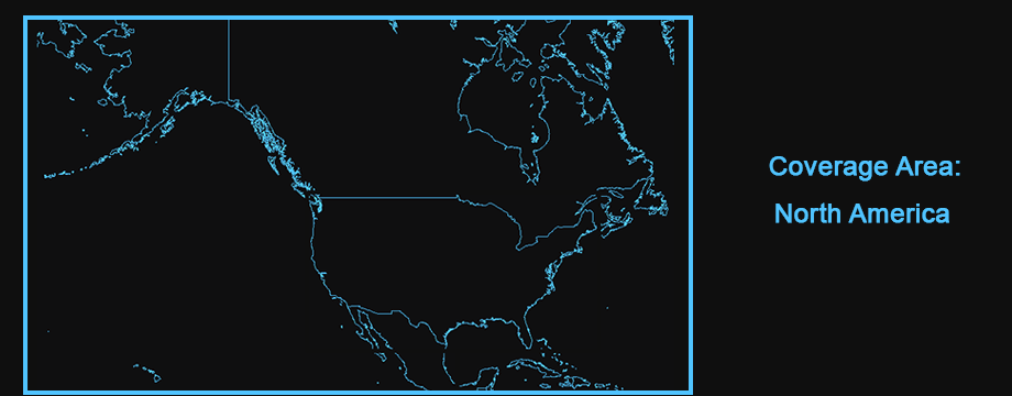
North American Terrain with Landcover
© 2022 Boyd Ostroff
Data Source
This map is locally hosted at boydsmaps.com
Link to this metadata:
boydsmaps.com/mapinfo/naterrain.html
Link to this map:
boydsmaps.com/#6.00/51.404890/-68.708873/naterrain/0.00/0.00
Originally published:
June 10, 2022
Most recent update:
none
Resolution:
125 feet (38 meters)
Map Tiles:
1,500,000
Size:
10.96 gb
Description
Low-resolution terrain covering most of the North American continent, plus Hawaii. This map uses a combination of European Space Agency Worldcover data plus USGS National Landcover Database data for locations inside the United States. The horizontal resolution of this map is 38 meters (about 125 feet) so its practical uses may be somewhat limited.
Note: This map is a two-dimensional version of the North America 3d Terrain map.
Source Data
ESA Worldcover 2020, USGS 2011 National Landcover Dataset, NASA ASTER Digital Elevation Model v2
Use Constraints
This map is © 2022 Boyd Ostroff with all rights reserved. It is provided free of charge for personal, non-commercial, non-organizational use but is not open source software. It may not be published or re-distributed in any form without the written consent of the author. Reasonable usage of map screenshots is permitted as long as they are attributed to boydsmaps.com (preferably with a link to the actual map).
Distribution Liability
Map software is provided "as-is", without any express or implied warranty. In no event will boydsmaps.com be held liable for any damages arising from the use of this software. The user assumes all risks associated with the use of this software. boydsmaps.com will not be held responsible for any inaccuracies and no responsibility is assumed for damages or other liabilities due to errors, installation, accuracy, availability, use or misuse of the data presented.
Source Metadata Links
worldcover2020.esa.int/data www.mrlc.gov/downloads/sciweb1/shared/mrlc catalog.data.gov/dataset/aster-global-digital-elevation-model-v003