USGS National Map Orthoimagery
US Geological Survey / USDA National Agriculture Imagery Program
Data Source
This map is locally hosted at boydsmaps.com
Link to this metadata:
boydsmaps.com/mapinfo/naip2023.html
Link to this map:
boydsmaps.com/#14.00/42.077309/-74.991815/naip2023/0.00/0.00
Originally published:
June 1, 2023
Most recent update:
April 18, 2024
Resolution:
8 feet (2.4 meters)
Map Tiles:
7,470,000
Size:
334 gb
Description
This is a locally-hosted version of the USGS National Map aerials which are based on the National Agriculture Imagery Program (NAIP). The Southern portion of the map (NJ,PA,DE,CT,RI MD,VA,WV) was downloaded in May, 2023. The Northern section of the map (NY,MA,NH,VT,ME) was downloaded in April, 2024. Download dates notwithstanding, the actual imagery is probably no newer than 2019, as that was the newest offered for direct download from the NAIP at that time.
The original imagery was acquired at 1 meter resolution in "leaf-on" (eg: summer) conditions. This map has a resolution of 8 feet (2.4 meters) however, as this is the maximum available from the USGS National Map seamless dataset. Collection of NAIP imagery is administered by the U.S. Department of Agriculture's Farm Service Agency (FSA).
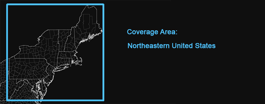
The map includes full coverage of New Jersey, New York, Pennsylvania, Maryland, Delaware, Connecticut, Rhode Island, Massachusetts, New Hampshire, Vermont and Maine with partial coverage of Virginia and West Virginia.
If you are interested in the newest available imagery, we suggest the 2023-2025 NAIP Aerials as an alternative. In addition to being newer, the resolution is higher than this map. Unfortunately, the coverage area is smaller however.
Credits
National Agriculture Imagery Program, US Department of Agriculture, Farm Service Bureau Aerial Photography Field Office, US Geological Survey National Geospatial Technical Operations Center
Use Constraints
None. Acknowledgement of the originating agencies would be appreciated in products derived from these data.
Distribution Liability
Although these data have been processed successfully on a computer system at the U.S. Geological Survey, no warranty expressed or implied is made regarding the accuracy or utility of the data on any other system or for general or scientific purposes, nor shall the act of distribution constitute any such warranty. This disclaimer applies both to individual use of the data and aggregate use with other data.
Map software is provided "as is", without any express or implied warranty. In no event will boydsmaps.com be held liable for any damages arising from the use of this software. The user assumes all risks associated with the use of this software. boydsmaps.com will not be held responsible for any inaccuracies and no responsibility is assumed for damages or other liabilities due to errors, installation, accuracy, availability, use or misuse of the data presented.
Full Metadata Link
basemap.nationalmap.gov/arcgis/rest/services/USGSImageryOnly/MapServer