2010 USDA National Agriculture Imagery Program Orthophotography
© 2025 Boyd Ostroff
This map is locally hosted at boydsmaps.com

Link to this metadata:
boydsmaps.com/mapinfo/naip2010.html
Link to this map:
boydsmaps.com/#16.00/41.313203/-72.960496/naip2010/0.00/0.00
Originally published:
March 7, 2025
Most recent update:
April 23, 2025
Resolution:
4 feet (1.2 meters)
Map Tiles:
4,711,000
Size:
27.56 gb
Data Sources
USDA Natural Resources Conservation Service (NRCS)Description
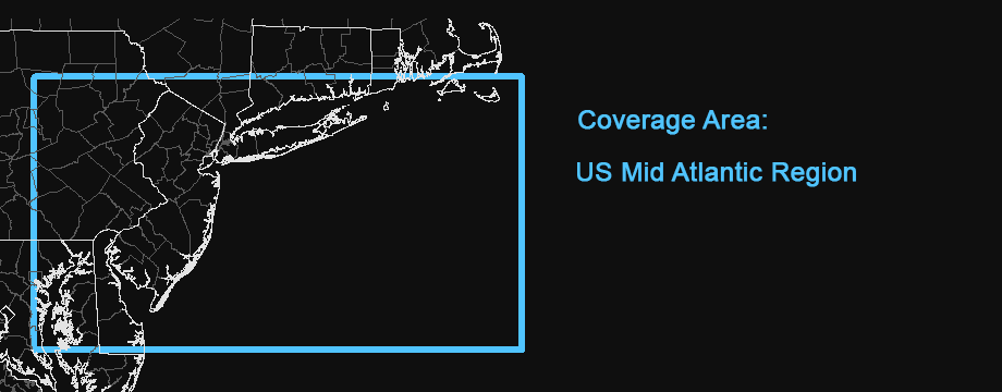
2009-2010 natural color aerial imagery from the US Department of Agriculture (USDA) National Agriculture Imagery Program (NAIP), stitched together into a seamless map. 2009 imagery was used for Delaware, Maryland and New York as no 2010 was available.
The New Jersey imagery was available from NJGIN as a mosaic of the entire state. All other imagery was downloaded as individual counties from the NRCS. These files are composites of multiple images that must be cropped for use in a seamless map. We used the county shapefiles from the USGS National Boundary Dataset for this purpose in Pennsylvania. However, previous experience found that this technique did not work well in coastal areas because the actual coastlines do not match the low-resolution shapefiles very well. Therefore, we hand-cropped all of the New York, Connecticut, Rhode Island, Massachussets, Maryland and Delaware imagery to preserve the maximum amount of coverage in coastal parts of these states.
Note that there is some missing coverage in the Chesapeake Bay area of Maryland. No 2010 imagery was available for these locations, and we could not find any from 2009, 2008 or 2007 either.
Credits
United States Department of Agriculture, Farm Service Administration Aerial Photography Field Office
NJ Office of Information Technology (NJOIT), Office of Geographic Information Systems (OGIS)
New Jersey Geographic Information Network (njgin.nj.gov)
Distribution Liability
Map software is provided "as is.", without any express or implied warranty. In no event will boydsmaps.com be held liable for any damages arising from the use of this software. The user assumes all risks associated with the use of this software. boydsmaps.com will not be held responsible for any inaccuracies and no responsibility is assumed for damages or other liabilities due to errors, installation, accuracy, availability, use or misuse of the data presented.