
2006 USDA National Agriculture Imagery Program Orthophotography
This map is locally hosted at boydsmaps.com
Link to this metadata:
boydsmaps.com/mapinfo/naip2006.html
Link to this map:
boydsmaps.com/#15.00/40.884150/-72.875909/naip2006/0.00/0.00
Originally published:
March 2, 2025
Most recent update:
February 8, 2026 (expanded coverage)
Resolution:
4 feet (1.2 meters)
Map Tiles:
7,121,000
Size:
54.56 gb
Data Sources
USDA Natural Resources Conservation Service (NRCS)Description
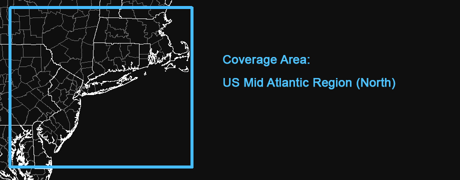
The original 2025 version of this map featured NAIP 2006 imagery of New Jersey only, stitched together by the NJ Geographic Information Network (NJGIN). It was subsequently updated to a larger US Mid Atlantic coverage area using imagery directly from the NAIP. The current 2006 version extends this coverage farther North to include all of Connecticut, Rhode Island and Massachussets, with additional coverage of Vermont, New Hampshire and New York.
Basically, this map represents the oldest imagery available from the NAIP, with the majority from 2006 but supplemented with some imagery as old as 2003 and new as 2009 in order to provide full coverage of the region. The graphic below shows the primary imagery dates in this map, but the reality is a more complex jigsaw puzzle of different years.
The earliest available Delaware imagery was from 2009. Maryland is a mixture of 2005, 2006 and 2007 imagery - yet there are still some areas around Chesapeake Bay that are not covered.
Imagery Dates
The New Jersey imagery was available from NJGIN as a mosaic of the entire state. All other imagery was downloaded as individual counties from the NRCS. These files are composites of multiple images that must be cropped for use in a seamless map. We used the county shapefiles from the USGS National Boundary Dataset for this purpose in Pennsylvania. However, previous experience found that this technique did not work well in coastal areas because the actual coastlines do not match the low-resolution shapefiles very well. Therefore, we hand-cropped all of the coastal imagery to preserve the maximum amount of coverage.
There is a considerable difference in imagery between the different states in this map. While New Jersey and parts of Connecticut are well-exposed with natural looking colors, New York is very de-saturated with low contrast while Pennsylvania is quite dark with a heavy bluish cast. These are the colors as they originally appeared in the imagery, boydsmaps has not done any processing to change colors or contrast.
The NAIP acquires digital orthoimagery during the agricultural growing seasons in the continental US. A primary goal of the NAIP program is to enable availability of ortho imagery within one year of acquisition. Imagery is typically available for distribution within 60 days of the end of a flying season and is intended to provide current information of agricultural conditions in support of USDA farm programs.
NAIP imagery is generally acquired in projects covering full states in cooperation with state government and other federal agencies who use the imagery for a variety of purposes including land use planning and natural resource assessment. The NAIP is also used for disaster response often providing the most current pre-event imagery.
The source imagery has a one-meter ground sample distance (GSD) and is rectified within +/- 6 meters to true ground at a 95% confidence level. NAIP imagery may contain as much as 10% cloud cover per tile. NAIP is administered through the USDA's Farm Production and Conservation Business Center (FPAC-BC) Geospatial Enterprise Operations (GEO) Branch.
Credits
United States Department of Agriculture, Farm Service Administration Aerial Photography Field Office
NJ Office of Information Technology (NJOIT), Office of Geographic Information Systems (OGIS)
New Jersey Geographic Information Network (njgin.nj.gov)
Distribution Liability
Map software is provided "as is.", without any express or implied warranty. In no event will boydsmaps.com be held liable for any damages arising from the use of this software. The user assumes all risks associated with the use of this software. boydsmaps.com will not be held responsible for any inaccuracies and no responsibility is assumed for damages or other liabilities due to errors, installation, accuracy, availability, use or misuse of the data presented.