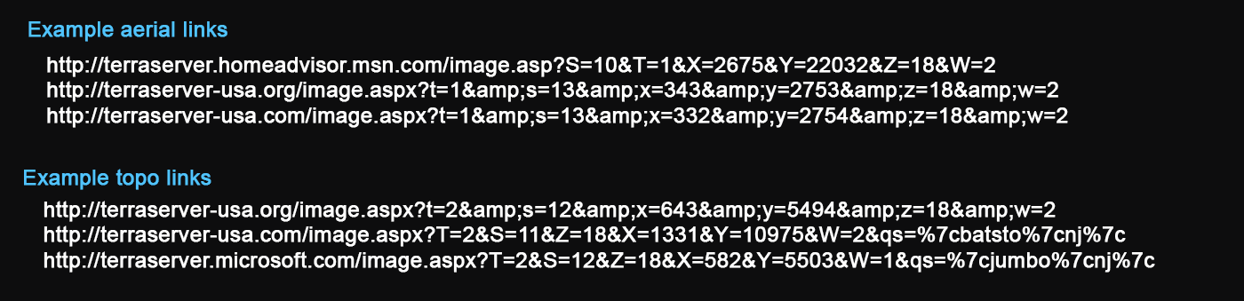
Paste a terraserver link into the box below:
No code or other content from terraserver is used here: legacy links are simply translated to boydsmaps format. Aerial imagery will open the boydsmaps 1990's NAPP (National Aerial Photography Program) aerials which were the source of the USGS DOQQ's (Digital Orthophoto Quarter Quadrangles) used by terraserver. This imagery is only available for the US mid Atlantic region however and NAIP (National Agriculture Imagery Program) aerials will be shown outside of the mid Atlantic. The NAIP aerials are about 20 to 25 years newer than the original terraserver imagery.
Topo maps will open the boydsmaps 24k Digital Raster Graphics (DRG) Topo, which offers the same maps as the original terraserver website. These maps cover the Northeastern United States and are supplemented by the boydsmaps 24k Legacy Topo which extends a bit farther West and South. The current USGS National Map Topo - which is completely different from the original terraserver maps - will be shown for other US locations.
There is no support for locations outside of the United States. A low resolution basemap will be shown in these areas.
The TerraServer trademark passed between companies over the years, as described on this Wikipedia page. TerraServer, Inc. was acquired by PrecisionHawk in 2015, which subsequently filed for bankruptcy and ceased operations in 2023.